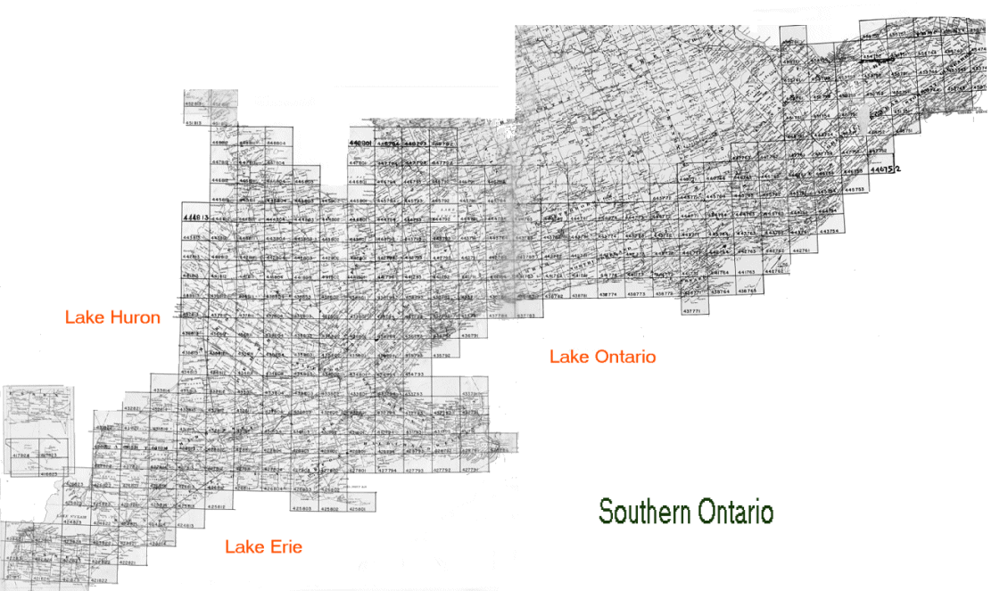
Digital Aerial Photographs, Southern Ontario 1954For access to the newer interactive index for the georeferenced versions of these photos, please see https://mdl.library.utoronto.ca/air-photos/1954
Source: Hunting Survey Corporation Limited
For further information and help, click on one of the links above, call us at 416.978.5589, or contact us. Our address is 130 St. George street, Toronto, ON M5S 1A5 |