
Map Library Home
Digital Aerial Photographs, Southern Ontario 1954
Source: Energy Mines and Resources Canada
Scale: Approx. 1.5 (Region A) and 0.6 (Regions B and C) metre
resolution (one pixel = 1.5m and 0.6m)
Format: TIF and SID files (for more information about the MrSID file
format see
Extensis's
website).
The images are available in their original form (click here for a
sample)
and cropped (click here for a
sample)
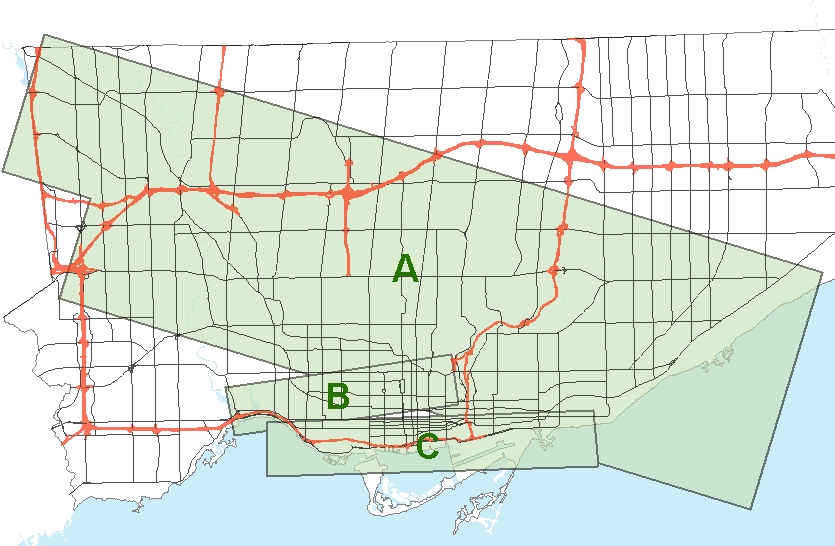
Click on the graphic above to see available photographs.
© University of Toronto Map Library
Last Updated: October 26, 2005