
Home | Search the GIS Data Inventory
Digital Aerial Photographs, Metropolitan Toronto 1990
Source: The Airborne Sensing Corporation.
Scale: 1:5000 (approx.)
Format: jpeg and tiff images
Access: University of Toronto faculty, students, and staff, for research and teaching only.
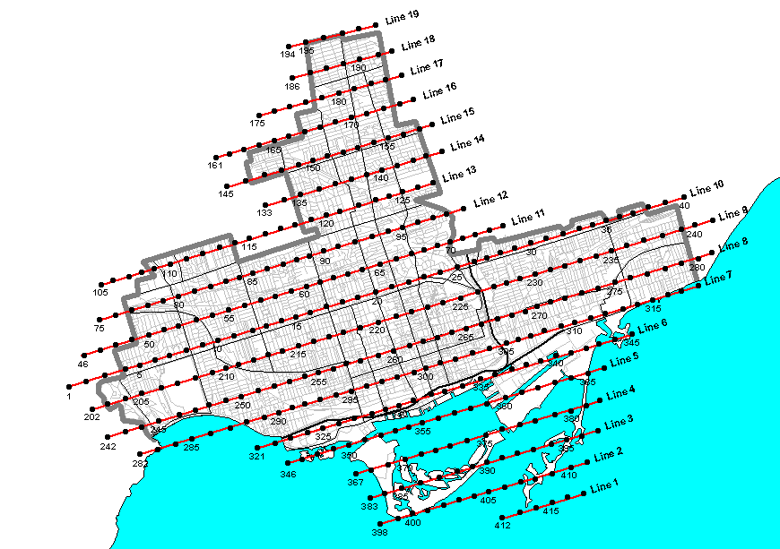 Click on the graphic above to see available photographs.